

―SERVICES―
OUR CORE SERVICES
Professional drone solutions for construction, development, and marketing needs serving Charleston, South Carolina
-
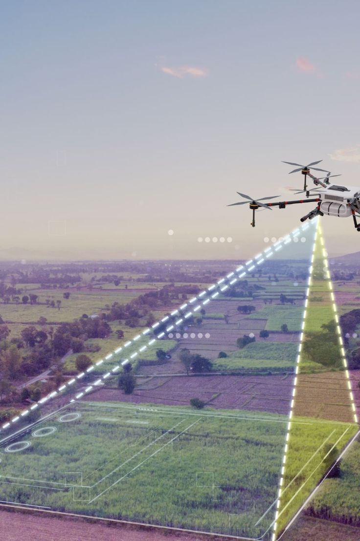
Aerial Mapping
Accurate land surveys with GIS integration for construction and development projects
-

Construction Progress Tracking
Detailed progress reports, measurements, and time-lapse documentation for project monitoring
-
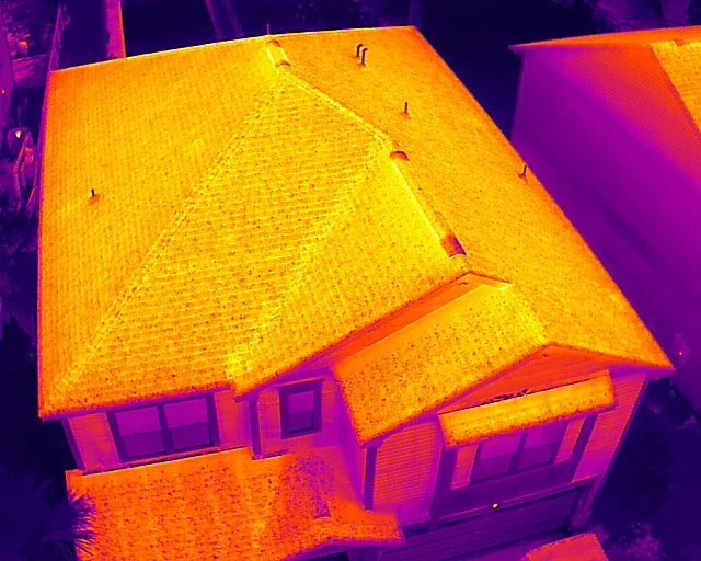
Thermal Imaging
Monitor your building’s envelope for potential energy loss or water infiltration
-
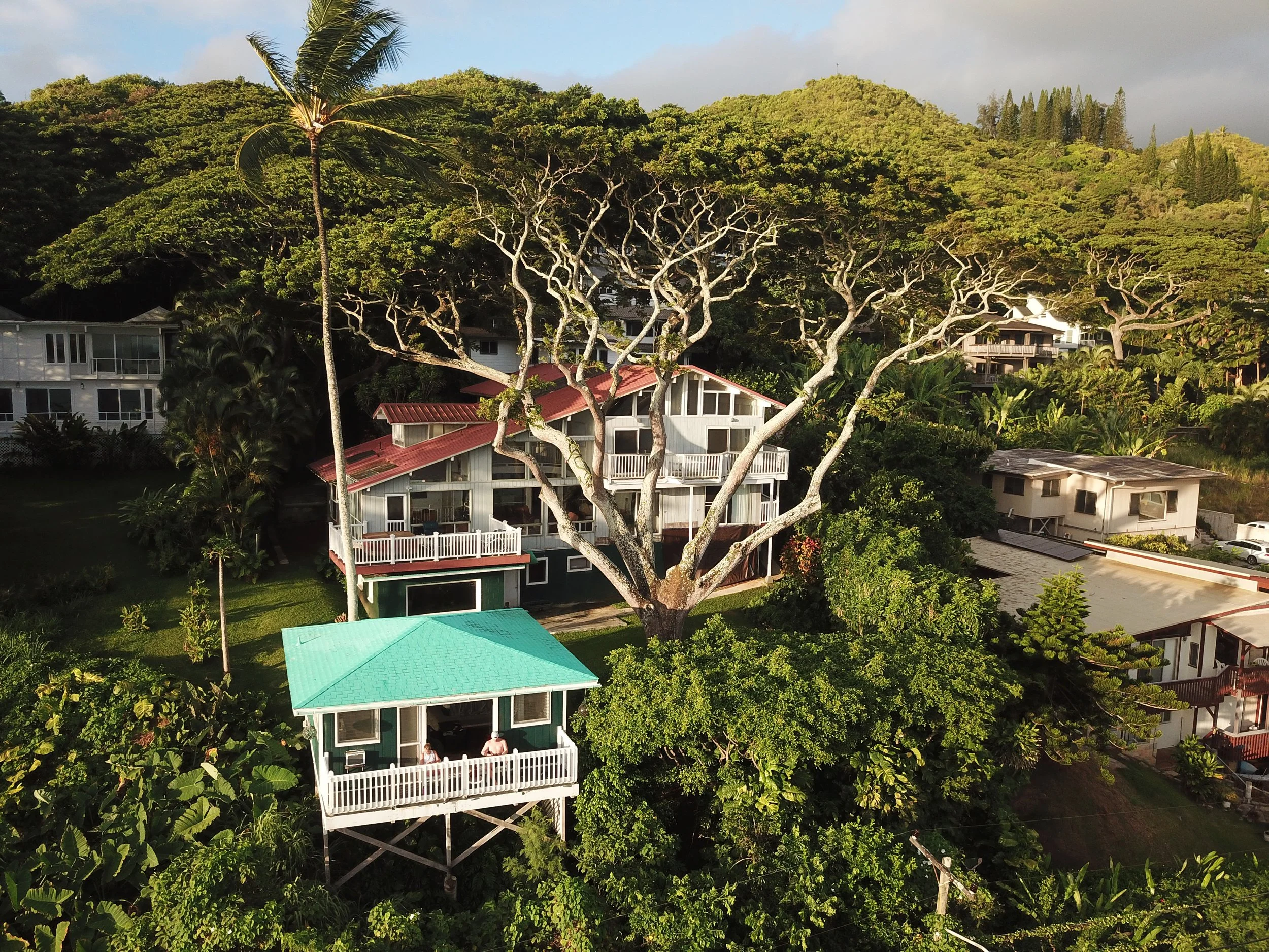
Real Estate Marketing
Professional aerial photography and videography showcasing properties from stunning perspectives
―PROJECTS―
OUR RECENT PROJECTS
See how we've helped clients achieve their goals
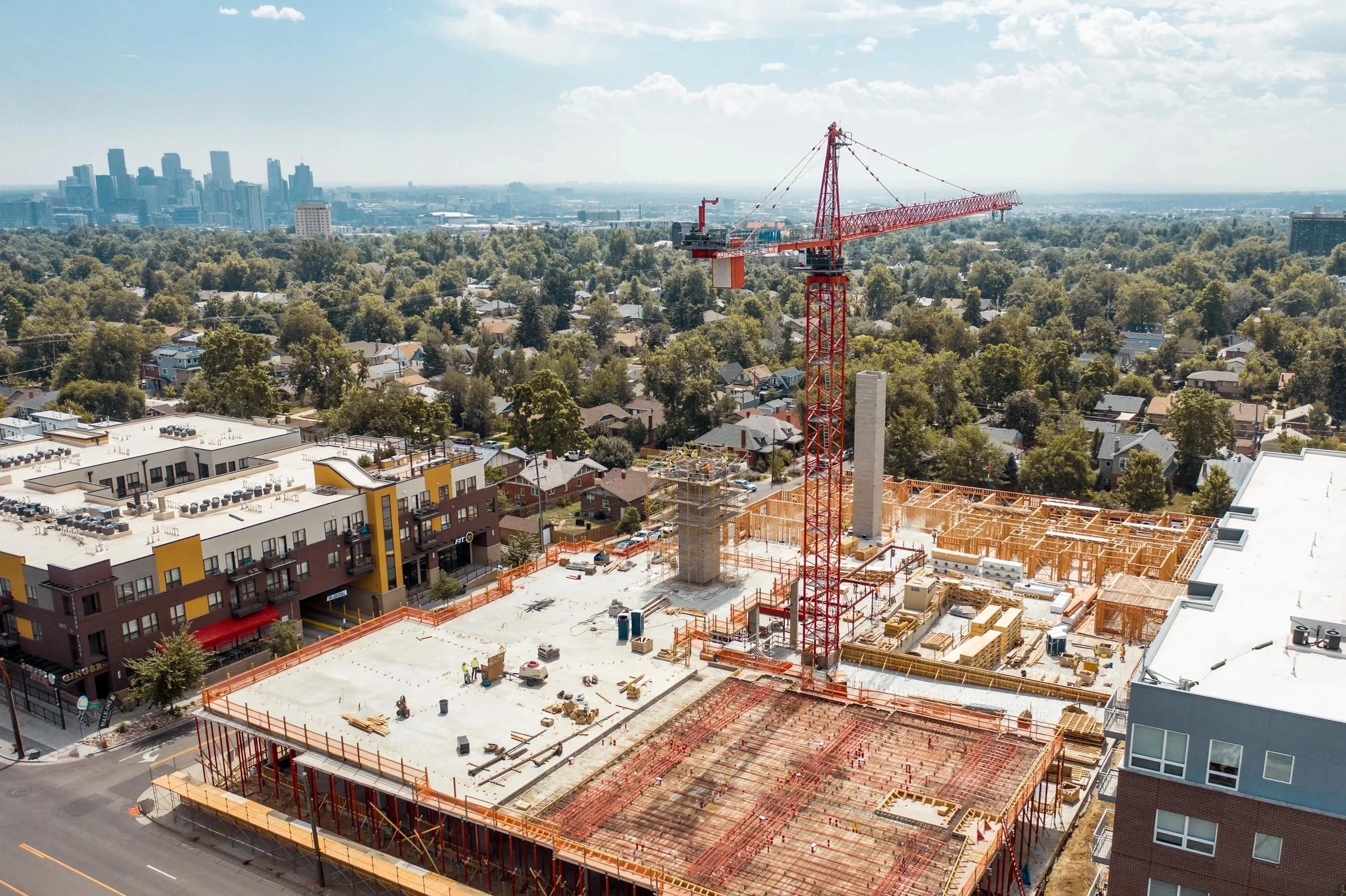
Construction Progress Documentation
Monthly progress tracking for large commercial development

Compare As-Builts in Real Time
Compare as-builts against drawing foundations and coordinate logistics on site for equipment layout

Identify Conflicts
Capture underground plumbing rough-in and overlay structural foundation drawings to identify any potential conflicts ahead of time. For this client we able to identify a conflict with their plumbing pipe and foundations before they backfilled
WHY CHOOSE TIDEMARK
We combine cutting-edge drone technology with professional expertise to deliver precise, reliable aerial solutions. Our FAA-certified pilots and state-of-the-art equipment ensure every project meets the highest standards of quality and safety.

FAA Certified
Licensed and insured professionals

Precision Equipment
Professional-grade drones and cameras

Expert Team
Experienced pilots and data analysts
Ready to Get Started?
Get a free consultation and quote for your project today